Unmanned aerial vehicles (UAVs) – aka drones – are an ever-increasing presence in our society, particularly when it comes to surveying and engineering. UAVs offer engineering, surveying, and construction companies an easier, more cost-effective means of collecting massive amounts of survey data. What once took a traditional field crew days or weeks to complete can now be completed in a matter of hours with the use of a drone. Reduced field time means surveyors spend less time in harm’s way (along busy roads, e.g.), with projects completed in a safer manner than with traditional surveying methods. The combination of collecting more data in less time— and in a safer way— makes UAVs an undeniable asset to the industry. Surveyors who effectively utilize UAVs can offer their clients the benefits of a safer, faster, more cost-effective product deliverable.
As a full-service engineering and architecture firm, Pickering is used to adapting to and familiarizing ourselves with new technologies as they arise.
Generally speaking, there are 2 types of UAV Systems, each with their own benefits and complications. Multi-Rotor UAVs are the easiest and cheapest option for beginning a UAV program. They offer great control over position and framing and are useful in a multitude of aerial photography applications. Fixed-wing drones use a wing like a normal airplane to provide the lift rather than vertical lift rotors. Because of this they only need to use energy to move forward instead of holding themselves in place, making them much more efficient, with the ability to cover longer distances and map much larger areas. Determining which option offers the best solution for your project and within your budget is the key to any successful project.
The FAA requires that anyone who operates a UAV for commercial purposes obtain a Part 107 remote operator’s license. Once a pilot has the proper certification, they must receive clearance from the FAA before flying any mission. This was once a time-consuming task. However, that time has been drastically reduced with the development of the Low Altitude Authorization and Notification Capability (LAANC) system. This system identifies zones near airports which are eligible for pre-approved flights at specified altitudes and provides flight authorizations in controlled airspace through near real-time processing of airspace authorizations below approved altitudes. There are still restrictions regarding where UAVs can be flown, heights they cannot fly above, limitations on flying over people or roads, etc. Those restrictions must be evaluated by the pilot before every mission in order to comply with all FAA regulations.
Data Quality Versus Conventional Surveying
When using UAVs, data can be collected using either photogrammetry or LiDAR. Photogrammetry is the science of making measurements from photographs. The input to photogrammetry is photographs, and the output is typically a map, a drawing, a measurement, or a 3D model of some real-world object or scene. LiDAR, which stands for Light Detection and Ranging, is a remote sensing method that uses light in the form of a pulsed laser to measure distances to the Earth. When an airborne laser is pointed at a targeted area on the ground, the beam of light is reflected by the surface it encounters. When laser ranges are combined with position and orientation data, the result is a dense, detail-rich group of elevation points, called a "point cloud". The point clouds are used to generate other geospatial products, such as digital elevation models, canopy models, building models, and contours. Both photogrammetry and LiDAR are extremely accurate methods of data collection.

Time Savings Versus Conventional Surveying: A Case Study
There is no doubt that a considerable amount of time is saved through the use of drone surveying. For this evaluation, we’ll look at a hypothetical topographic survey of a 1-mile stretch of road. Using conventional methods (total stations and GPS), it would likely take a 2-man crew 40 hours to complete the field work. Additionally, we would likely have 24 hours in the office to complete the CAD work. That is a total of 104 man hours on the project. When using a UAV, a field crew is still necessary to set control, measure pipe invert elevations, find property corners, etc., but their time would be reduced to only 12 hours. A UAV pilot would be added for 8 hours. Office time would be increased to 40 hours accounting for additional processing time. The man hour total for the project is now only 72 hours. That is a reduction of 31%.
After one day in the field, a CAD tech can immediately begin drawing the collected data. Traditional surveying methods that typically take a week to complete in the field, have now taken one day. This means quicker turnaround and greater service to the client.
As with any new technology, we learn as we go. Survey crews who utilize UAVs in the field face unique challenges. Fortunately for our clients, Pickering is staffed with knowledgeable experts who have learned how to navigate these challenges.
FAA Regulations
Knowledge of and compliance with FAA regulations are a critical component to any UAV program. As mentioned before, the FAA requires that anyone who operates a UAV for commercial purposes obtain a Part 107 remote operator’s license. Under Part 107, UAV pilots are required to:
- Pass an initial aeronautical knowledge test at one of 690 FAA testing centers across the nation. Once you pass, you’ll obtain a Remote Pilot Certificate with a small UAS rating (a small UAS is any drone under 55 pounds).
- Pass a recurrent aeronautical knowledge test every 24 months
- Report accidents to the FAA within 10 days of any operation that results in injury orproperty damage over $500
- Conduct a preflight inspection on aircraft and control station systems
- Ensure the small UAS is safe for operation before each use
- Verify airspace classification and obtain any authorizations necessary prior to any flight
- Stay informed regarding any Notices to Airmen (NOTAMs), Temporary Flight Restrictions (TFRs), Meteorological Aerodrome Reports (METARs) near the proposed flight
- Check aeronautical charts to check for nearby obstructions (radio or cell towers, etc.), airports, Special Use Areas, Prohibited Areas, Restricted Areas, Military Operation Areas, etc.
- Ensure that all flights are in compliance with the FAAs regulations regarding flying within visual line of sight, not flying over people or traffic, flying within daylight hours, flying at the appropriate altitude, etc.
While knowledge of and compliance with FAA regulations are a critical component to any UAV program, the rapid growth in the use of drones, both commercially and recreationally, has resulted in rules that benefit drone operators. The trend in FAA regulations has been to make commercial drone operation more achievable by automating airspace authorizations. With our flight time and experience, Pickering has implemented practices and procedures that ensure compliance with FAA regulations while at the same time providing a quality product in a cost-effective manner for our clients. For more information on the FAA Part 107 certification, see www.faa.gov/uas/commercial_operators/.

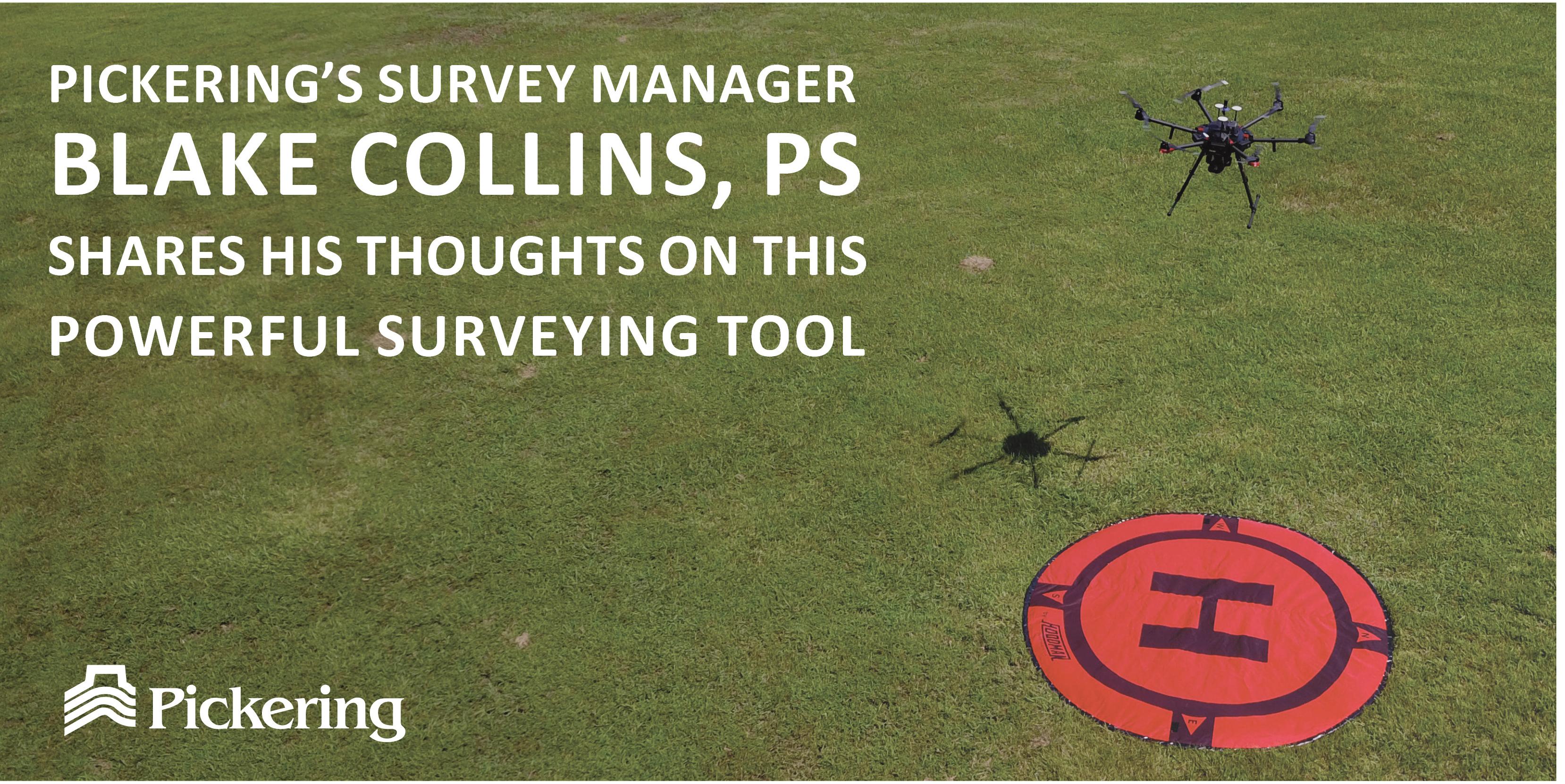
Blake Collins, PS is a Principal Owner of Pickering and is the Survey Manager for our Flowood, MS office.


LEAVE A COMMENT